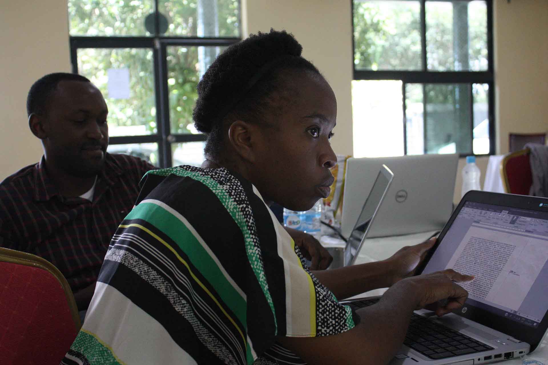
Capacity strengthening
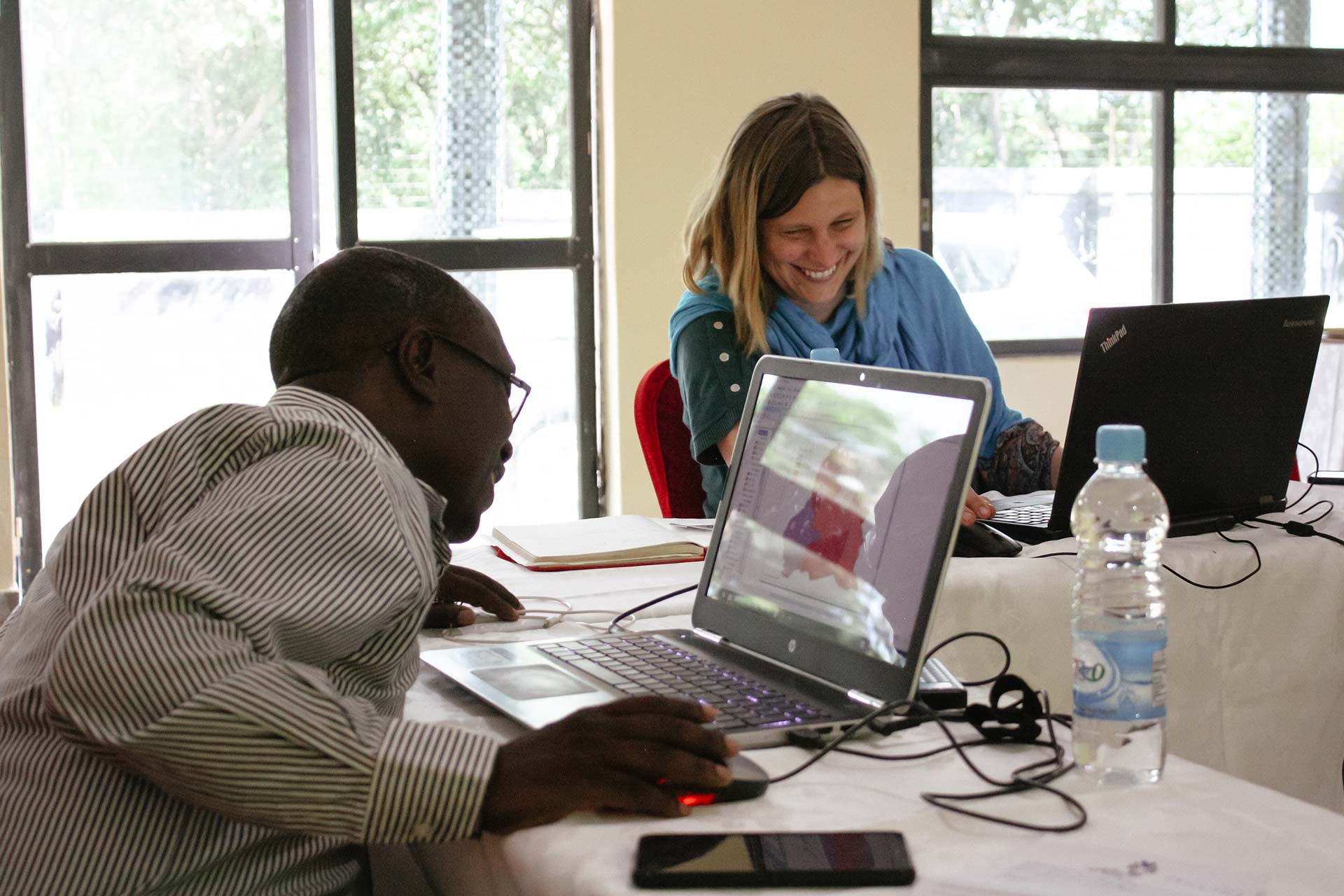
GRID3 aims to make crucial geo-referenced data available and useful for decision makers. We commit to strengthening countries’ capacity to produce and use those data by providing technical assistance as well as training, and by developing country-specific partnerships that bring government, science, and civil society together.
“We will only achieve sustainable, ground level impact and positive change if we strengthen the skills and capabilities of our country partners.”
Graeme Hornby, Training Specialist, Flowminder
Why it matters
Capacity strengthening is a strategic priority to ensure sustainable and verifiable ground-level impact in countries.
Our approach
GRID3 offers tailored technical assistance and training programmes to strengthen individual and institutional capacities in census and survey planning and implementation, Geographic Information Systems (GIS) and Remote Sensing. Our activities are split into three categories: infrastructure; data frameworks and protocols; and individual staff capacity. We also work closely with partners to identify those gaps and develop programmes adapted to the needs of each focus country. Those activities can be provided by GRID3 global partners or through partnerships with external organisations at international or national level.
Solutions
The GRID3 Capacity Strengthening programme, led by Flowminder, aims to achieve six objectives:
- To make basic georeferenced data available and useful for decision makers,
- To strengthen countries’ capacity to produce and use those data
- To make positive, ground-level impact on people’s’ lives
- To foster national and regional partnerships
- To promote data sharing, open source solutions,
- To advocate for greater public access to data
To achieve these goals, our capacity strengthening activities are responsive to country requests for support. They include development of policies, data frameworks and protocols as well as organisation of, or participation in, national and regional workshops, training sessions, international conferences, exchanges, study tours etc.
Our training approach provides a range of services to best respond to partners’ needs including short courses, outreach and mentoring, and product documentation. Our course catalogue encompasses not only GRID3 methods but also core foundational subjects relating to the use and application of GRID3 data. The main course themes cover: i) Fundamentals of spatial data, spatial statistics and geographic information system (GIS), ii) Support for Census and Microcensus, iii) Gridded Population Survey: Design, Planning and Implementation, and iv) Analysis, Statistics, and Visualisation.
To view the full list of courses on offer, please click here

To reach and support as many data users and partners as possible, we have launched learn.grid3.org, our online Learning Management System (LMS), managed by Flowminder. Our LMS is a secure online environment for delivering courses and material to groups of learners. It offers a wide range of learning media, a suite of assessment and collaborative activities and supports the management and tracking of learners.
GRID3 also recognises that wider data dissemination is essential to strengthen countries’ geospatial capacity and improve data investments and innovations. We commit to developing digital statistical products for data sharing, open source solutions, and facilitating public access to data.
To request a training workshop or more details about capacity strengthening activities in your country, please contact us.